Map: Magadan City

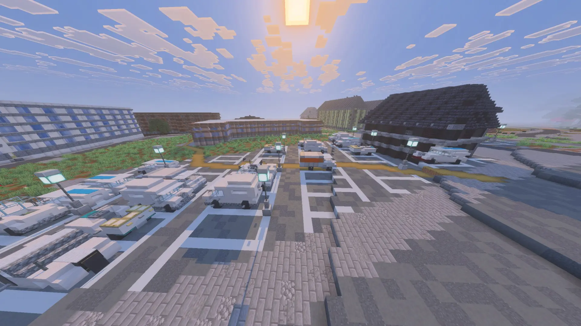
Welcome to “Magadan,” a map that takes you to the far northeast of Russia. The city sits on a narrow isthmus between two bays of the Sea of Okhotsk, surrounded by hills, and that closeness of harsh nature and residential blocks is felt here at every turn. Magadan started out in the late twenties as a workers' settlement for developing the Kolyma region, while its historic center took shape in the fifties to designs by Leningrad architects, and that austere neoclassicism still defines the city's face.
Magadan was generated using the Arnis tool.


Files
Files in a new tab
Download Magadan City mapmagadan.mcworld
5
comments
Comments in a new tab
Loading…
Loading…
Loading…